Boosting Engineering Speed with Cycle Time
January 20, 2022
Velocity: Align, Deliver, and Improve with Engineering Intelligence
January 21, 2022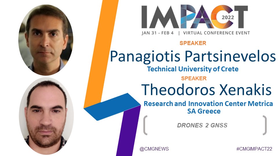
Learn about the project Drones 2 GNSS. In a nutshell, the project uses an aerial platform (Drone) to acquire high precision mapping coordinates of the ground by using a novel set of integrated sensors and algorithms, with great applications in most fields of Geo-sciences and Engineering.
Nowadays, Global Navigation Satellite Systems (GNSS/GPS) constitute the standard measurement procedure for many engineering applications, yet positioning accuracy in urban canyons and under tree canopies is degraded as the satellite signal is obstructed. This constitutes a major problem for engineers that have to find time consuming and expensive solutions to gain centimeters positioning accuracy. To confront this challenge, we implement the world’s first UAV that offers accurate coordinate estimation in urban and/or obstructed environments.
A more detailed description of the project is found in https://www.drones2gnss.tuc.gr.
Partners:
a) Metrica: https://www.metrica.gr/
Speakers: Errikos Skassis – CEO
Antonis Antonakakis – B.U. Manager
Theodoros Xenakis – Head of Research and Innovation Center (RIC)
Vasillios Siskas – MSc Rural and Surveying Engineer NTUA
Stamatia Panagiotopoulou – MSc Rural and Surveying Engineer NTUA
b) Space Geomatica: https://spacegeomatica.com/
Speakers: Achilles Tripolitsiotis
c) Senselab Research, Technical University of Crete: www.senselab.tuc.gr.
Speakers: Prof. Panagiotis Partsinevelos
George Petrakis, PhD Candidate
Angelos Antonopoulos, Researcher
IMPACT 2022 Session Video:
To view the video you must have a CMG membership or had registered as an IMPACT 2022 Attendee. Sign up today!For existing members sign in here.


